New flood mapping, which has been drafted with the help of the community, will be available to review as part of Bundaberg Regional Council’s involvement in a catchment-wide flood study.
The updated models are being developed as part of the Burnett River and Tributaries Catchment Flood Study.
The purpose is to provide a better understanding of flood behaviour which in future, can be used to improve flood management and response, and provide up-to-date information for land-use and infrastructure planning.
The first phase of the study, completed in October 2024, focused on gathering community experiences and information of past floods.
Mayor Helen Blackburn said, along with newly available data, this information has been used to update the flood modelling of the Burnett River and major tributaries.
“Your stories and data have been incredibly valuable,” she said.
“The feedback we received will play a critical role in shaping our understanding of flood behaviour in the region.”
The study has now reached Phase 2 where, using the data collected from Phase 1, new flood models of the Burnett River have been created.
“Now, we need to make sure that the models can predict floods accurately,” Mayor Blackburn said.
“Our officers do this by comparing the model’s predictions with what actually happened in past flood events, like the January 2013 floods.”
The project consultants have developed flood maps showing historical floods of the Burnett River.
To confirm these flood maps accurately represent what happened, Council is again asking for community input.
“As part of Phase 2 of the study we are again calling on your local knowledge to ensure that the maps are accurate,” Mayor Blackburn said.
“Do the maps reflect your experience of past floods? Let us know.
“Your feedback will help us refine our understanding and improve future flood management and response.”
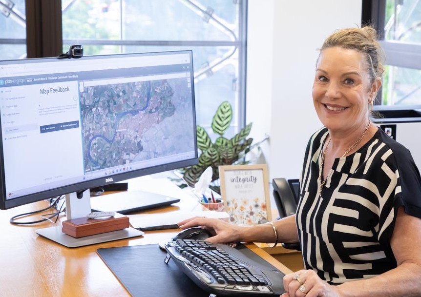
Consultant AECOM has launched a project webpage at https://anz.planengage.com/burnettriver where the community can view information about the project.
The community will be able to review the flood maps and provide feedback online between 21 April and 16 May 2025.
A community consultation session will also be held, offering the opportunity to discuss the maps and share additional insights directly with Council and the Flood Study team.
When: Friday, 2 May 2025 between 7.30 am to 2.30 pm
Where: Civic Centre Super Room, 190 Bourbong Street, Bundaberg


